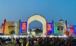
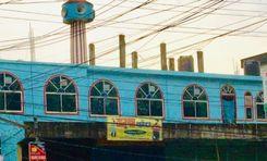
Natun Bazar is a lively and bustling area located in the heart of Barisal district. Located on the banks of the Kirtankhola River, the area is very important in terms of trade and economy. The area serves as an important commercial center for communication and transportation of goods due to the Barisal launch terminal and connecting roads. With local markets, banks, and private and administrative offices, it is always bustling.<br><br>
From Natun Bazar, you can travel to all upazilas of the Barisal district. Bhola and Noakhali upazilas are on the east side of this area. Jhalkathi, Bagerhat, and Khulna districts on the west. Chandpur, Shariatpur, and Gopalganj districts in the north. Barguna and Patuakhali districts on the south side. BM College Road, Hospital Road, Bogra Road, and Bhanga-Barisal Highway Road connect this area to the rest of the country. You can travel to different districts of the country, including Dhaka, Chandpur, Patuakhali, and Chittagong, by river route.<br><br>
The communication system and local markets here served as a trading center for the transport of agricultural products, fish, and other products across the country. This market offers everything from fresh produce, aromatic spices, textiles to electronics. Due to the launch terminal, local market, and goods transportation facilities, there is a lot of job creation here.<br><br>
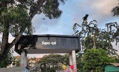
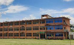
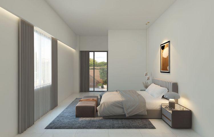
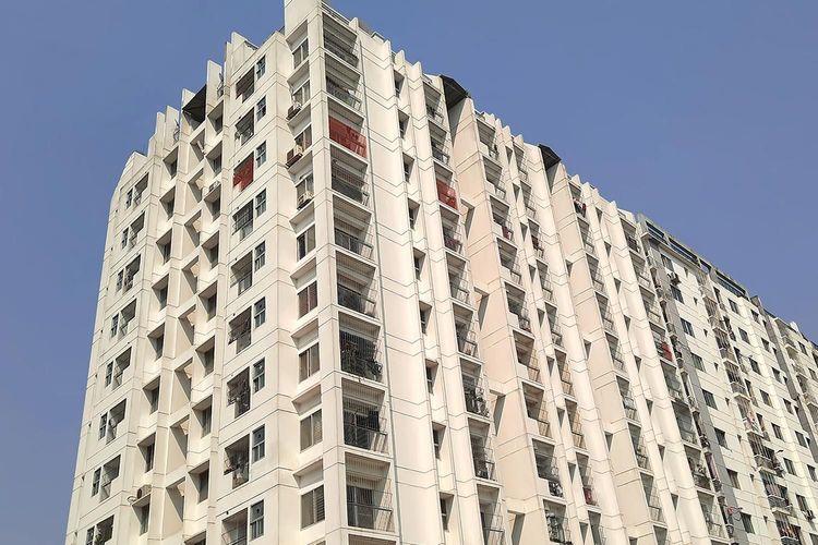
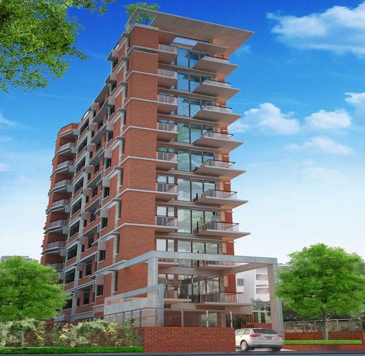
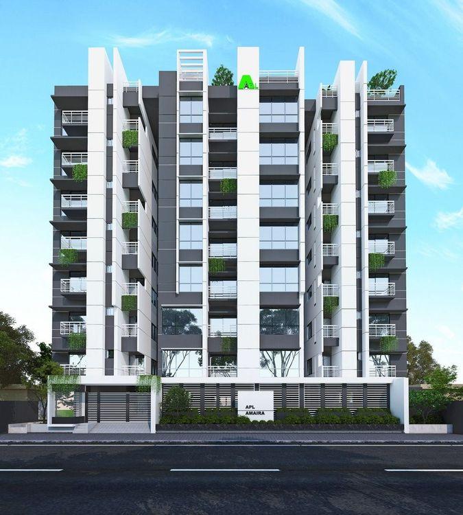
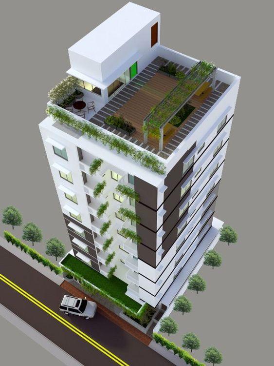
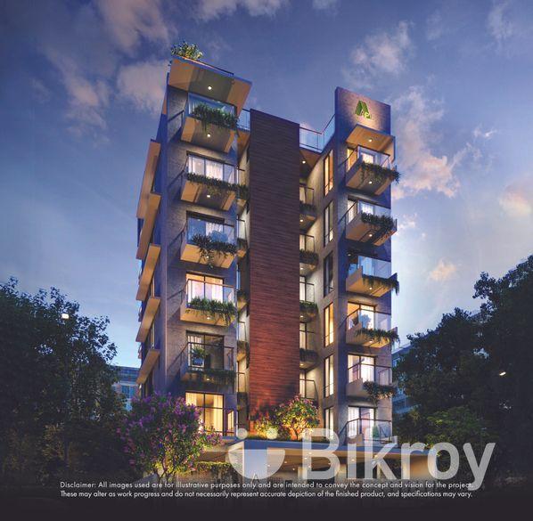
Natun Bazar is known for its natural beauty and rich cultural heritage. Due to a business-friendly environment, improved communication system, adequate educational institutions, medical centers, transportation, parks, etc., many residential buildings are being developed in and around this area. Despite being a densely populated area, the rural surroundings of the area will charm you.<br><br>
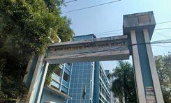
The Natun Bazar area is developing with many amenities including new apartments, banks, and restaurants. There are shopping malls, restaurants, and parks. Police Station and Fire Service are located very close by. Natun Bazar's communication system and other civic facilities are very convenient for housing, employment, and business. Although several infrastructures and residential buildings have been developed, traffic congestion and sanitation systems are not structured. Traffic congestion, lots of auto rickshaws, and environmental pollution are the main problems here.
View Insights