Chandpur is a naturally vibrant district of Chittagong division. It is located in the country's southeastern part, near the confluence of the Padma and Meghna rivers. Situated at the outfall of a river, the city is an important center for agricultural activities, river transport, and trade. The district is also known for its rich cultural heritage and natural beauty.<br><br>
Chandpur district is located in the basin of the Padma and Meghna Rivers. It is bounded by Munshiganj and Comilla districts to the north, Noakhali, Laxmipur, and Barisal districts to the south, Comilla district to the east, Meghna River, Shariatpur and Munshiganj districts to the west. The upazilas of this district are - Chandpur Sadar, Faridganj, Haimchar, Hajiganj, Kachua, Matlab South, Matlab North and Shahrasti upazilas.<br><br>
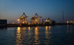
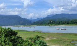
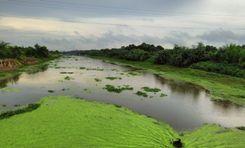
Chandpur, the breeding and habitat of silver hilsa, the national fish of Bangladesh. Meghna River serves as a lifeline for transportation, fishing, and agriculture. This charming environment, bustling river port, and hilsa town make this district very attractive to tourists. Beyond its economic significance, Chandpur fascinates visitors with its lush greenery, serene environment, and tapestry of riverine Bengali culture.<br><br>
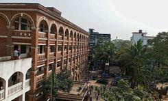
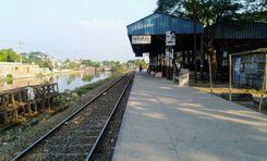
Chandpur's economy is mainly driven by agriculture, fishing, and trade. The city's roads, railways, and waterways have contributed significantly to the country's economy, particularly in agriculture, fisheries, and cargo trade. The city serves as an important transportation hub connecting various regions of the country by road, rail, and waterways. Education and medical facilities in Chandpur are also quite good.<br><br>
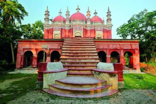
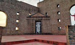
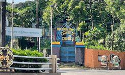
Rupsa Zamindar Bari is a notable landmark, reflecting the region's rich architectural and cultural heritage. During the reign of the twelve Bhuiyans, this region was held by Chand Roy, son of Kedar Roy, the zamindar of Bikrampur. According to historian JM Sengupta, the region was named Chandpur after Chand Roy.<br><br>
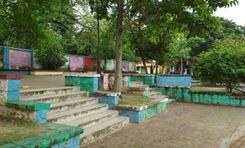
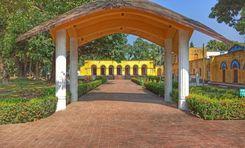
The city has cultural importance as a center of literature, art, and music. Also, various social programs, youth clubs, training centers, and recreation centers in the area contribute to intellectual and social development. The area attracts visitors interested in river cruises, fishing, and exploring the picturesque countryside.<br><br>
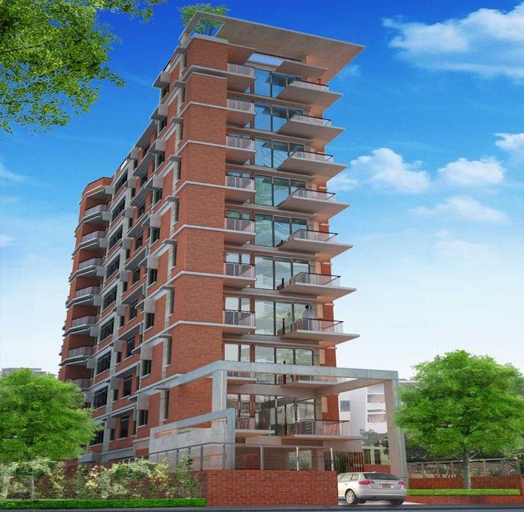
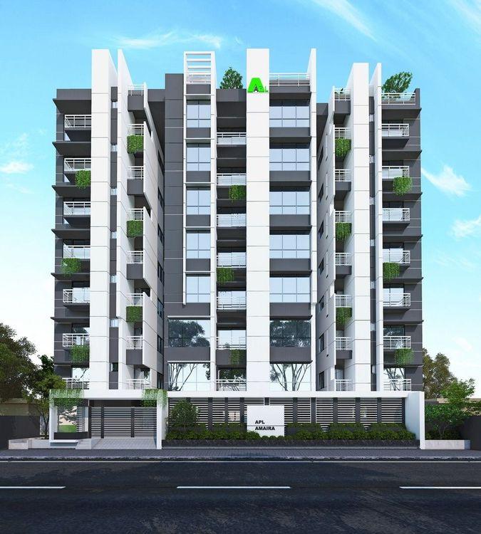
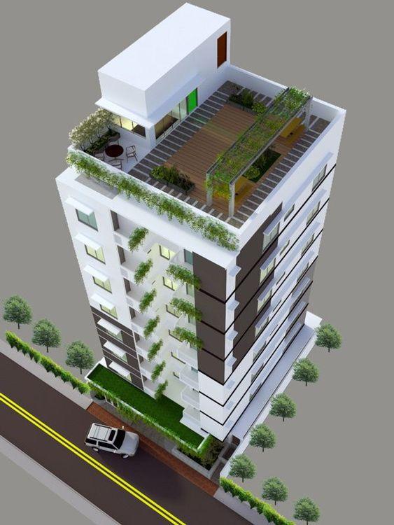
Being an important center for trade, communication, and transportation of goods, the city is developing residential and commercial infrastructure. Also considering the importance of communication, roads and bridges are being constructed and renovated as planned in the rural areas of the district. Ongoing development and initiatives aimed at furthering the city's prosperity, promise a bright future.
View Insights