Several Upazilas of the Khulna District are located across the Rupsha River, and one such upazila is Terokhada. It is about 24 kilometers away from Khulna City and has a land area of about 186.54 square kilometers. As for population, according to the official website of the Upazila, there are over 26 thousand families living in the area, and the population is about 1,18,854. So anyone who plans to get to know this upazila will find this Terokhada area guide helpful.<br><br>
There are no direct bus routes, roads, or bridges to Terokhada from the Khulna Sadar area. From the Sadar area, travelers must first go through Upper Jessore Road and pass the K.D. Ghosh Road to reach the Jailkaha Ferry Ghat. From there, they can cross the river to reach Senerbazar Ferry Ghat. Several means of travel, such as buses, trucks, vans, tempos, or laguna, will take you directly to the Upazila Sadar area.<br><br>
While there might not be a bridge connecting the Upazila to the city, there are more than 450 bridges and culverts inside the Upazila to improve communication. However, the number of underdeveloped roads is still a matter of concern. The roads also need to be wider for better access to transport.<br><br>
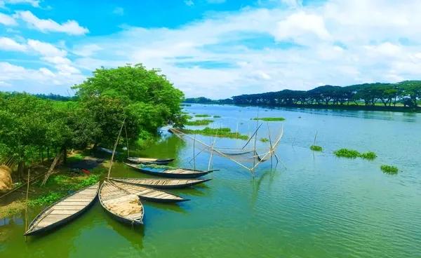
Terokhada has two major rivers: Atharobaki and Katakhali. The main economic source of people here is farming and cultivation, and a large part of Terokhada is covered by farmland. The main crops here are paddy, sugarcane, coconuts, etc. Other economic sources include shrimp framing, non-agricultural labor, business, industry, fisheries, transport, poultries and dairies, and cottage industries.<br><br>
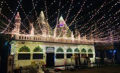
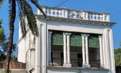
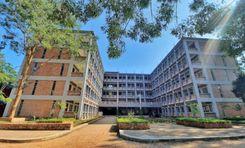
The environment in Terokhada is green, filled with trees, rivers, and rural beauty. While there isn’t big and modern housing, it certainly offers fresh air, as heavy industrial activities still haven’t polluted it. Moreover, the area has access to basic and average educational, religious, and financial institutions, along with many hats, bazaars, and marketplaces.
View Insights