Balaganj Upazila or subdistrict is located on the bank of the Kushiyara River. It is a renowned and important area in the south of the Sylhet District. The distance between Sylhet Sadar and Balaganj Upazila is 37 kilometers by road. The Balaganj Thana was established in 1882 and included Balaganj, Fenchuganj, and Rajnagar. In 1922, the present-day Balaganj became a separate area from Fenchuganj and Rajnagar, which is why we are exploring the Balaganj area guide today.<br><br>
The Balaganj Upazila, established in 1982, has a land area of 375.92 square kilometers, making it the 3rd largest upazila in Bangladesh. The Osmaninagar Upazila, established in 2014, is also part of this upazila. It is bounded by South Surma and Bishwanath Upazilas in the north, Moulvibazar and Rajnagar Upazilas in the South, Fenchuganj Upazila in the east, and Bishwanath and Nabiganj Upazilas in the west. Currently, more than 3,20,000 people live in the area, which has 14 unions, 237 mouzas, and 472 villages.<br><br>
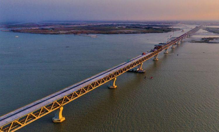
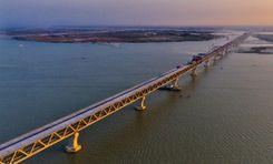
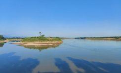
Balaganj has 596 mosques, 54 temples, and 173 educational institutions. The upazila areas also include three rivers: Kushariya, Borobhaga, and Amirding. In addition, the upazila has various haors and beels, such as Patachatal Beel, Chepti Beel, Majail Beel, and Merowar Haor. Locals and tourists often explore these locations to experience a glimpse of their natural beauty. Yet, there are more!<br><br>
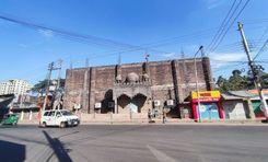
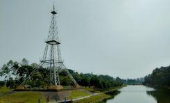
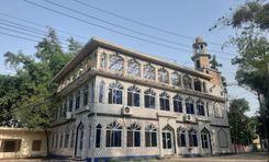
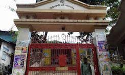
Another popular location in the area is the Osmani Museum, located at the Doyamir village of the upazila. It was the paternal home of General Muhammad Ataul Gani Osmani, the former Chief of the Army of Bangladesh. Other notable landmarks in the upazila are Gopal Jiur Ashram, SOS Shishu Palli, Kadipur Dighirpar Jame Masjid, Adityopur Martyr Memorial, etc.<br><br>
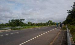
The best route to take to Balaganj Upazila is by using the Dhaka-Sylhet Highway. The road enters the Upazila area through Nazir Bazar and goes through Kurua, Doyamir, and Osmaninagar. From there, people can reach Balaganj by the Osmaninagar-Balaganj Road to reach the Upazila Sadar area.<br><br>
The town areas of the upazila, especially Osmaninagar, offer access to convenient travel due to high roads. Other than buses, you can use different types of transport to travel inside and outside the upazila. However, the upazila does not have a railway station. On top of that, frequent flooding destroys lowlands, roads, and farmlands. This causes heavy losses every year as agriculture is the main economic source of the upazila.
View Insights